Don't be afraid. It's SkySquirrel NOT Skynet.
The use of military drones has led to many a heated discussion of military ethics; however, as these devices make their way into agricultural industries, the only appropriate response is, "AWESOME."
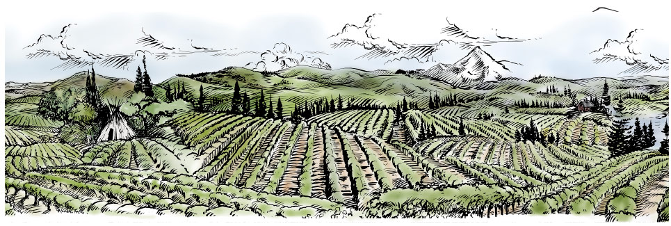
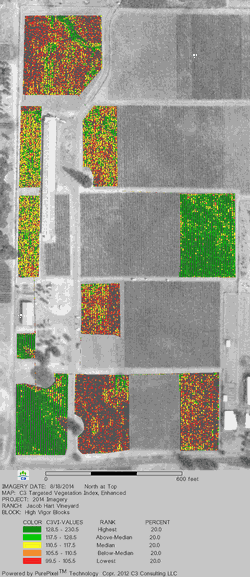
Aerial imaging has been used in vineyards for many years to give growers an overview of the general health of their vineyard. Now you may be thinking, "Can't you just walk the vineyard and see weak areas?" Yes, but consider a vineyard like Jacob-Hart, with approximately 34 vineyard acres planted to 5x8 spacing. There are about 37,000 vines and aerial imaging allows us to see them all at once. Even better, companies specializing in scientific aerial imaging offer many imaging options including thermal imaging which identifies areas under stress as hotter than areas that are healthy (see image to the left). With basic knowledge of the site, you can often locate changes in soil type, location of recently planted blocks, disease hot-spots, drainage issues, and many other aspects that influence vine performance.
As you might imagine, this is neither an inexpensive nor quick service. So how does such a company make their services more available? Drones.
VineView, a scientific aerial imaging company based out of St. Helena, California, joined forces with SkySquirrel Technologies, a Canadian unmanned aerial system company, to bring drones to the agricultural community. The name of this joint effort is Aqweo, and it made its first appearance at the Napa Valley Grapegrowers' first ever ROOTSTOCK conference on November 13th. This marks an impressive step in the precision agriculture movement and, while there are currently some FAA restrictions that will delay commercial drone use in vineyards, I cannot help but get excited about where this technology will be in the next few years.